Announcement

QGIS 2.8.1 Released

Today the next stable version of QGIS was released. It is being called QGIS version 2.8 'Wien'. Wien is German for 'Vienna' which was the host city for the QGIS developer meetings in 2009 and 2014.QGIS2.8_splashRecently a new version of QGIS has been released every four months. This rapid pace of development has its pros and cons. On the plus side, the software is rapidly growing and improving. On the con side it has made it difficult to maintain documentation. It has also been an issue for people working on large projects. They have had to deal with the software changing every four months.QGIS 2.8 is a special release because it is the first in a series of long-term releases (LTR's). The idea is that one release per year will be an LTR. This means that the LTR release will be supported and available for download for one year. This way people needing stability can use this until the next LTR is released a year from now.Some of the highlights are:

  • Numerous bug fixes and stability improvements
  • QGIS Browser is more responsive
  • Ability to select the units in the Measure tool
  • Improvements to editing: better control of snapping and a new suite of Advanced Digitizing tools
  • Improvements to the Map Composer such as better control over coordinate graticules and map rotation.
  • Symbology improvements such as filling polygons with raster images, ability to have multiple styles per layer.

The detailed list of new features can be found here: http://www2.qgis.org/en/site/forusers/visualchangelog28/index.htmlVisit the download page and take the new version for a spin. Remember you can install it on Windows, Mac and Linux! 

FOSS4G Academy Launched

For the first time there is a complete GIS curriculum based on free and open source (FOSS4G) software! Better yet the material are freely available to everyone. The curriculum consists of five courses:

  • GST 101 - Introduction to Geospatial Technology
  • GST 102 - Spatial Analysis
  • GST 103 - Data Acquisition and Management
  • GST 104 - Cartography
  • GST 105 - Remote Sensing

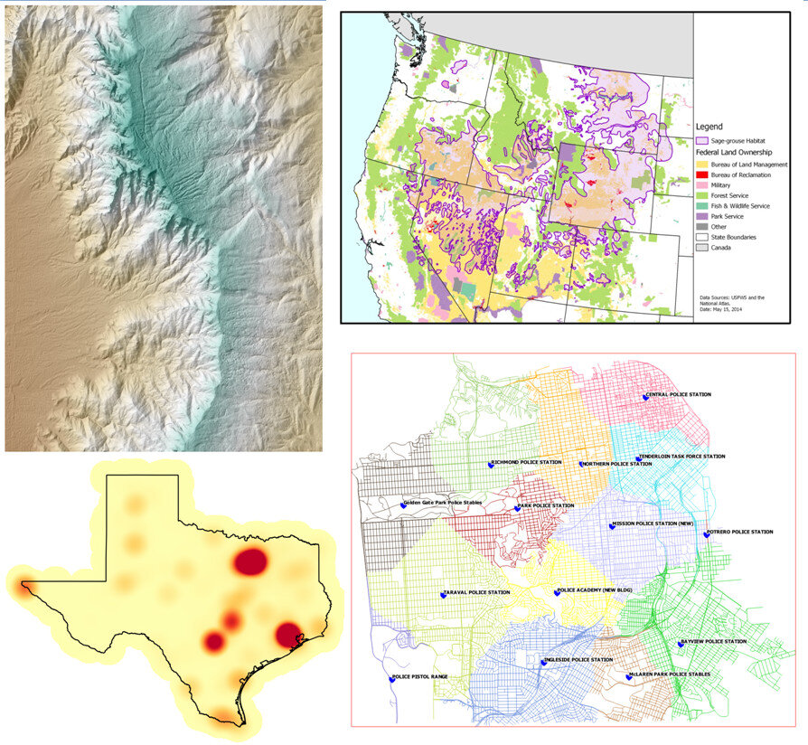
Examples of FOSS4G Academy QGIS LabsThe courses were developed via the National Information Security and Geospatial Technologies Consortium (NISGTC), under the leadership of Phil Davis (Del Mar College). Kurt Menke (Bird's Eye View), and Dr. Richard Smith (Texas A & M - Corpus Christi), authored the material which includes: theory, lecture, labs, data and task oriented video tutorials for each lab exercise.The courses are aligned with the Department of Labors Geospatial Technology Competency Model (GTCM). The GTCM  was published in 2010 and will be revised in 2015. It describes the complete set of knowledge, skills, and abilities required by GIS professionals. It is designed around a hierarchical tiered model of knowledge and promotes use of open source technology.GTCMQGIS is the featured software for all courses. When appropriate other FOSS software's are also included such as GRASS and InkScape.The vast majority of US based colleges and universities use a single vendor's proprietary GIS software, making this series of courses very unique. In fact it is the first national attempt at a completely open source GIS curriculum. By their very nature of open source software, there is no marketing engine promoting them. This has slowed the adoption and overall use of open source GIS. One hope is that this material will entice people to learn about the same low cost mapping workflows that the Community Health Maps program is promoting.The targeted audience is broad and includes:

  • Secondary school educators and students
  • Two and four year college educators and students
  • Students in need of GIS skills
  • Workers seeking to broaden technology skills
  • Anyone desiring QGIS and open source knowledge and skills

The courses are available online at the FOSS4G Academy. Over 2,500 students have already enrolled for these courses demonstrating how in demand these materials are. Visit the FOSS4G Academy now and explore the material!FOSS4G Academy 

Community Health Maps Presenting at FOSS4G in Portland - September 2014

Kurt Menke will be presenting the Community Health Mapping project in Portland next month at FOSS4G. FOSS4G stands for Free and Open Source for Geospatial. It is the international open source GIS conference.FOSS4GIf you are nearby, or able to travel, it will be a great opportunity to learn more about the project including the workflow and how several groups have implemented it. The conference has eight concurrent tracks beginning Wednesday September 10th and ending on Friday September 12th. Conference talks will cover both new mapping technology and applications. The mapping technology will cover data collection, desktop analysis, cartography and web mapping. Over 1,000 attendees are expected. Mr. Menke's talk is scheduled for 1:00pm on Wednesday September 10th. Hope to see you there.