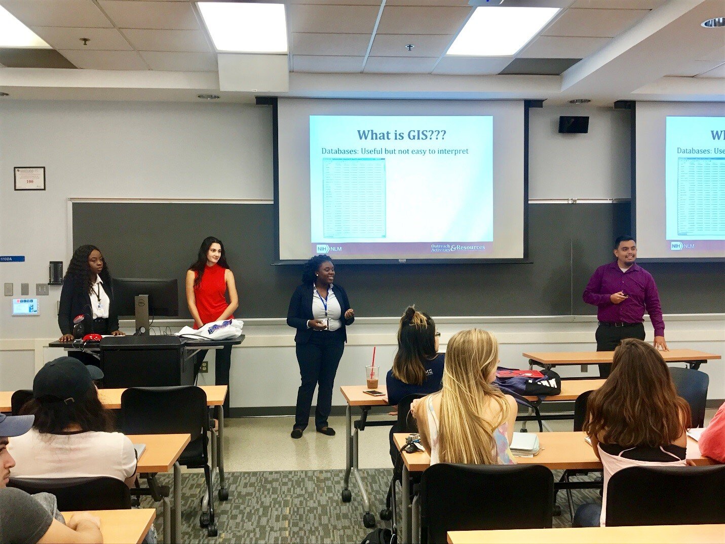
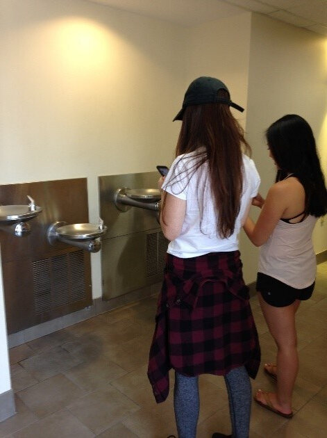
By Angela Kim & Colette HochsteinOn October 4, 2018, National Library of Medicine® (NLM) Research Assistant Julian Argoti and University of Maryland (UMD), School of Public Health intern Angela Kim spoke to the “Professional Preparation in Community Health” class at the University of Maryland, School of Public Health, College Park. The 75-minute class was attended by approximately 45 undergraduate students in the UMD Behavioral and Community Health (BCH) program. The presenters introduced NLM’s Community Health Maps (CHM) blog and facilitated a hands-on activity.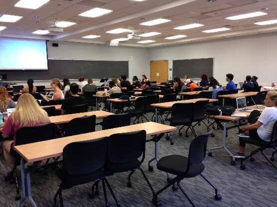 The presentation covered a basic introduction to the tools and workflow in CHM. The students were asked to use Fulcrum, a low-cost tool, to build a custom data collection form for the first step of the CHM workflow – data collection. They discovered first-hand how intuitive the tool is. After creating their own custom data collection form on the topic of their choice, the students left the classroom to collect data points around the School of Public Health building.
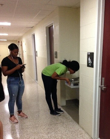 On their return, the students explored maps of their data points on Fulcrum. Many noted that the process of collecting data points was easy and fun. UMD Professor James Butler mentioned that although drinking a good amount of water is emphasized at the School of Public Health, he had not previously noticed that there is no water fountain near the faculty lounge. His comment underscored that issues are often not observed until actively examined, as during the mapping process.
 The class ended with Professor Butler concluding the class by reiterating how CHM can serve as a useful tool for visualizing many of the different health issues discussed in class.The students were alerted to the free new online Community Health Maps online tutorial, a self-paced course from the NLM designed to help users gain the skills needed to use Community Health Maps.
Exploring Accessibility and Sustainability at the University of Maryland School of Public Health
By: Jessica Throwe, Sofia Marmolejos, and Colette HochsteinThe National Library of Medicine (NLM) periodically hosts classes to introduce aspiringpublic health professionals to the benefits of using low-cost GIS mapping tools incommunity health research. Recently, NLM interns Jessica Throwe and SofiaMarmolejos, along with NLM Research Assistant Julian Argoti, presented CommunityHealth Maps (CHM) to University of Maryland School of Public Health undergraduateand graduate students.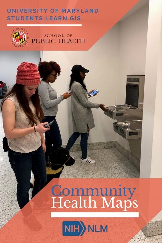 The first presentation was held during a seventy-five minute “Principles of CommunityHealth” class of twenty-five undergraduates. A second was provided to a close-knitclass of ten graduate students studying community health and health literacy.After an introduction to Community Health Maps and to the history and ideology ofGIS/mapping in health research, students used Fulcrum, a mobile data-collectionutility, to create customized forms for collecting data on their mobile phones. Theywere then given thirty minutes to explore the classroom building and collect data on thehealth topic of their choice. The data collected included the geographic location,functionality, and visual appearance of the points of interest.The larger undergraduate class chose a wide variety of subjects, ranging from nearbybus stops and curb ramps to building water fountains and bathroom stall colors. Thesmaller graduate class focused on the school building’s resources, including handsanitizer dispensers, bike racks, compost bins, wheel chair accessibility, and foodofferings. After the data collection and review process, problems with the building’sresources became more apparent, which sparked ideas regarding potentialimprovements.One group noticed that although the school has a new sustainability initiative, of thetwenty locations in the building with trash and recycling bins, only three included acompost bin. Another group found that the hand sanitizer dispensers functionedeverywhere except right outside the gym, a site where this product is in high demand. Athird group discovered the school has a limited number of locations to purchase snacks,and that each of these contains just one vending machine which does not offer healthyfood options.This introduction and exposure to Community Health Maps allowed University ofMaryland undergraduate students to explore the concept of mapping and to makeconnections with community health research. UMD graduate students actively appliedthe CHM processes to discovering geospatial inconsistencies in their built environmentand to brainstorming areas for potential improvements within the building.NLM looks forward to learning how students of varied educational levels will applyCommunity Health Maps to future educational and professional experiences.
Students teach students during University of Maryland CHM presentation
On September 28, 2017, Community Health Maps (CHM) was presented to the Community Health class at the University of Maryland School of Public Health in College Park. The session was provided by Julian Argoti, research assistant at the National Library of Medicine (NLM), and three University of Maryland Public Health interns completing their capstone project at the NLM. The primary goal was to expose the students to the resource and to help them explore how it might be used in their research.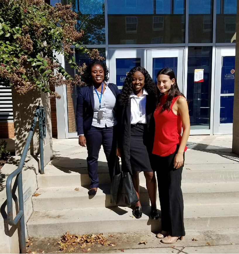 The presentation took place within a 95-minute class period with 53 students. The presenters introduced the CHM blog and briefly touched on using Geographic Information Systems (GIS)/spatial analysis to address a public health concerns, as English physician John Snow did in 1854 by mapping the source of a cholera outbreak in Soho, London, and as a former NLM intern did by mapping local curb ramps to help those with mobility issues cross streets safely.
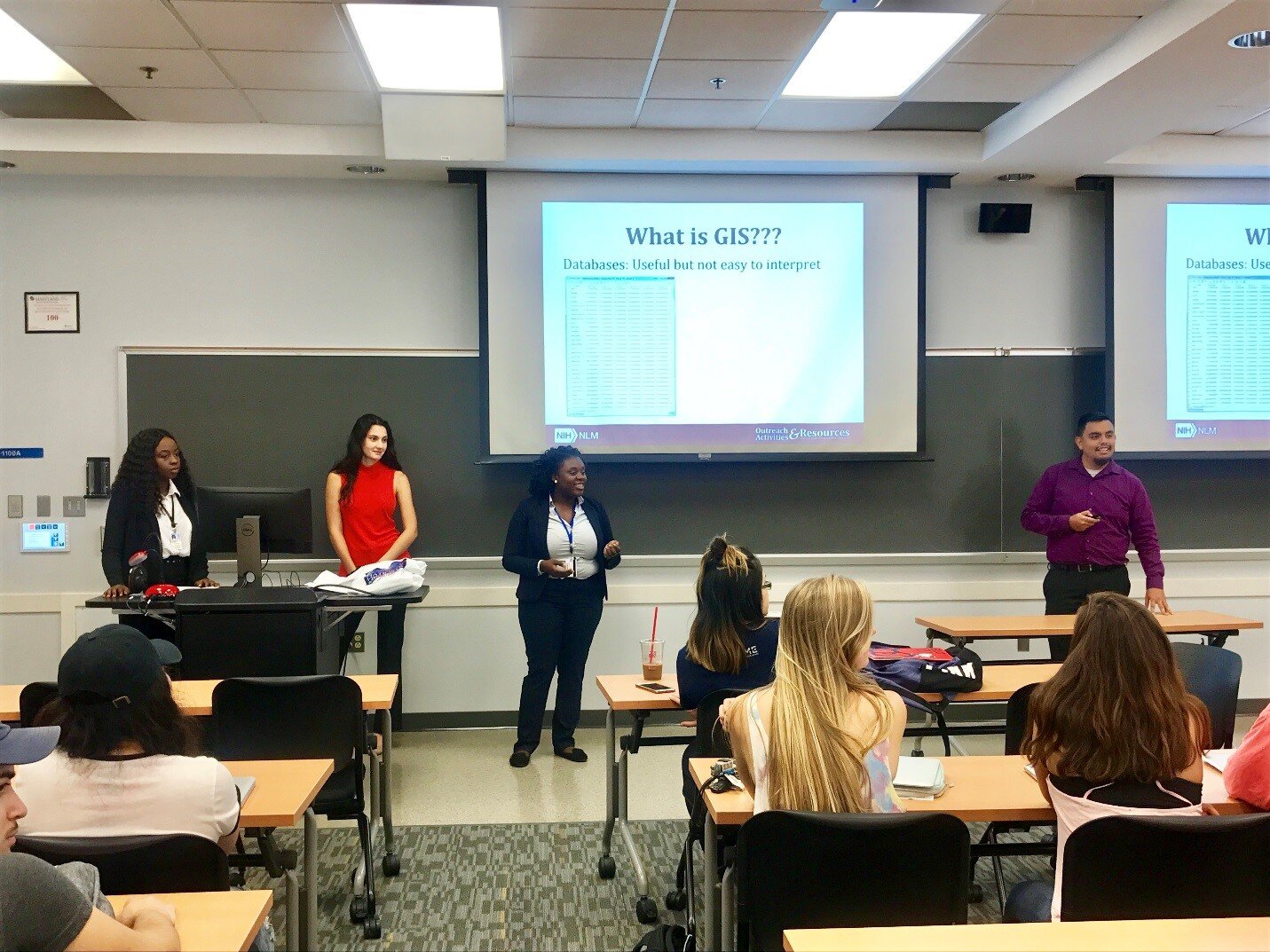 The students then completed a hands-on data collection exercise. They were introduced to Fulcrum, a low cost tool that allows users to build custom data collection forms for use on iOS or Android devices. Next, they left the classroom to collect data in real time, from the locations of trashcans and water fountains inside buildings to the positions of benches and signs outside them.The session ended with the students exploring a series of exercises designed to help them through the entire CHM workflow, from field data collection to online data presentation. A post-class survey indicated that most participants felt they could use CHM in upcoming assignments.

